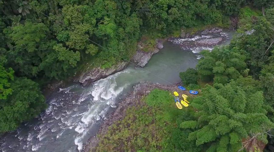
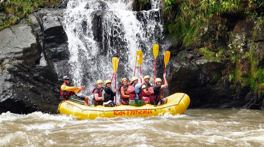
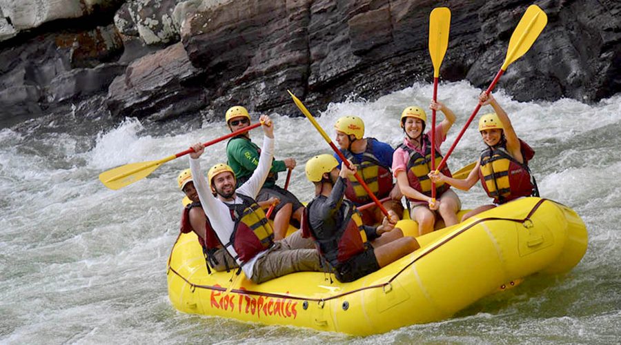
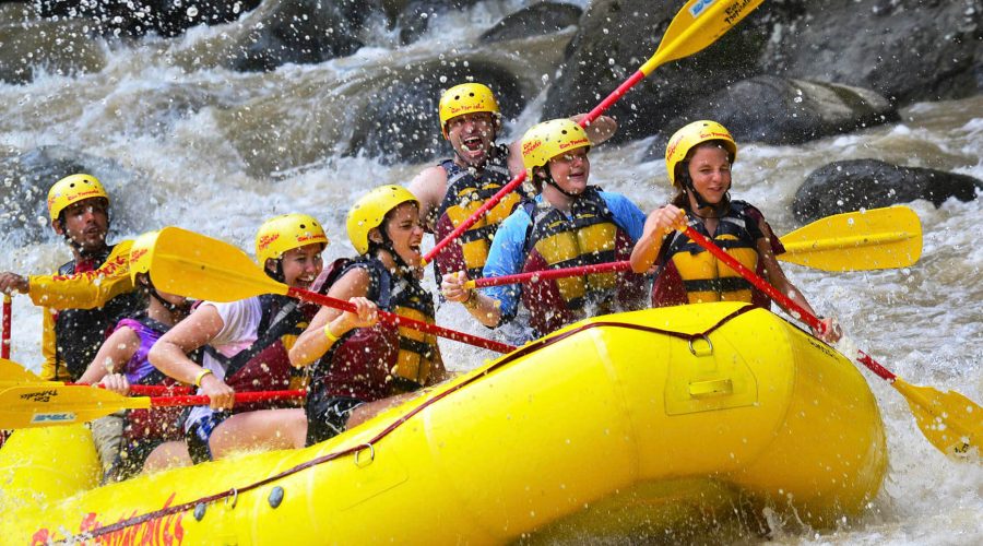
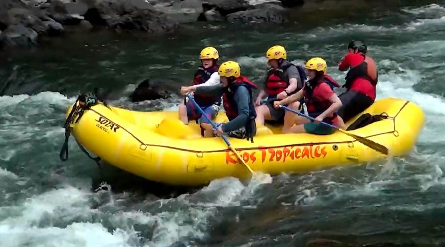
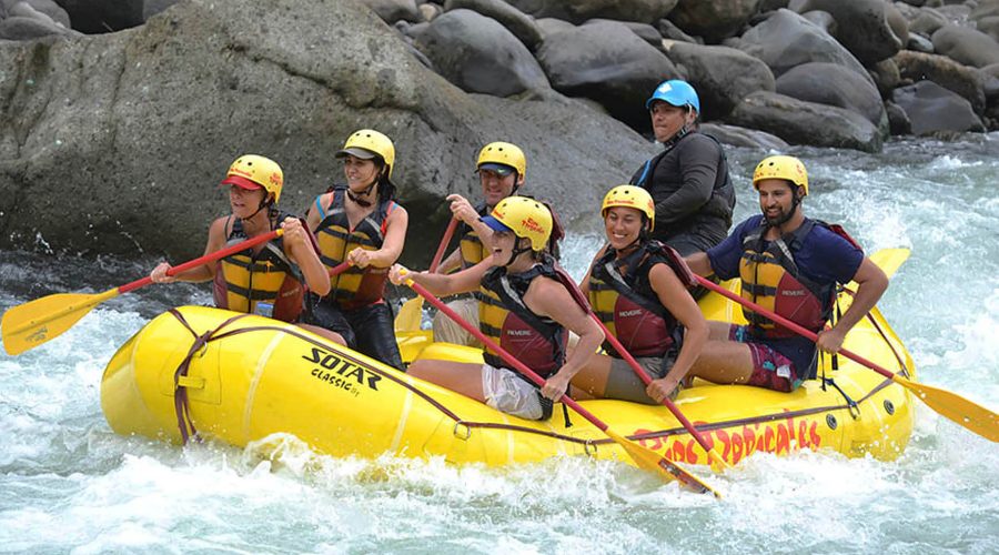
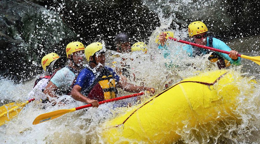
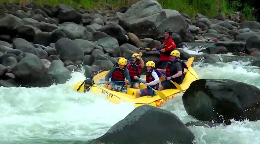
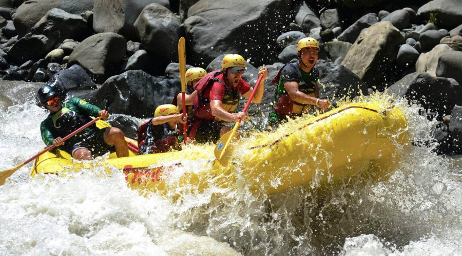
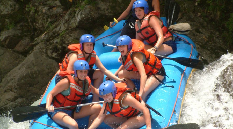
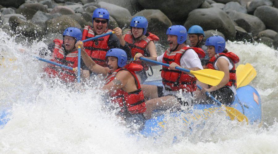
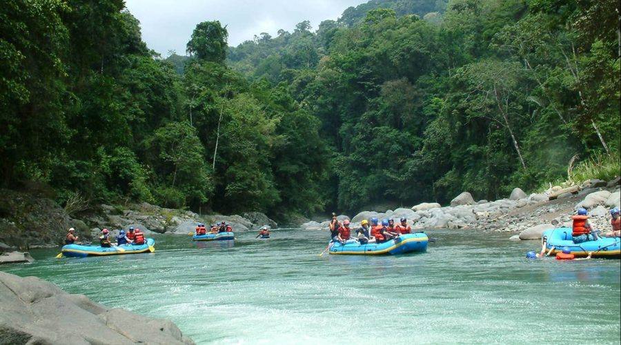
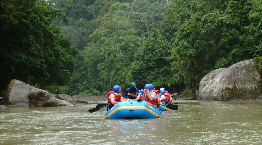
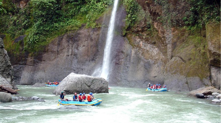
Submerge in incredible water adventures with this quintessential tropical river. Located at Costa Rica’s Atlantic slope, the Pacuare River borders the Talamanca mountain range, home to native Cabecar Indians which makes this tour a trip of pure magic, unsurpassed beauty, wildlife and exhilarating rapids. The journey starts by taking a delicious typical Costa Rican breakfast at the operations center. After that, you will raft 16 miles deep in rapids like Upper and Lower Huacas, Cimarrón and Dos Montañas, overpass majestic waterfalls and serene pools in one of Costa Rica’s most impressive primary rain forests. After an adrenaline-packed afternoon, you’ll finish a short drive from the Operations Center for a hearty and delicious lunch. Showers, optional drinks and visit to the souvenir store. On the return drive to San José, you’ll enjoy remarkable views of Braulio Carrillo National Park and Irazú Volcano.
What to expect
This quintessential tropical river is a trip of pure magic, unsurpassed beauty, and wildlife and exhilarating rapids. Located on Costa Rica’s Atlantic slope, the Pacuare River borders the Talamanca mountain range, home to native Cabecar Indians and an incredible variety of wildlife.
An early morning departure from San José will bring you to the Operations Center for a delicious, typical Costa Rican breakfast. At the private put-in, you’ll initiate your rafting experience as you raft 16 miles deep in the heart of densely vegetated gorges, past gushing waterfalls, serene pools, and pounding rapids, in one of Costa Rica’s most impressive primary rain forests.
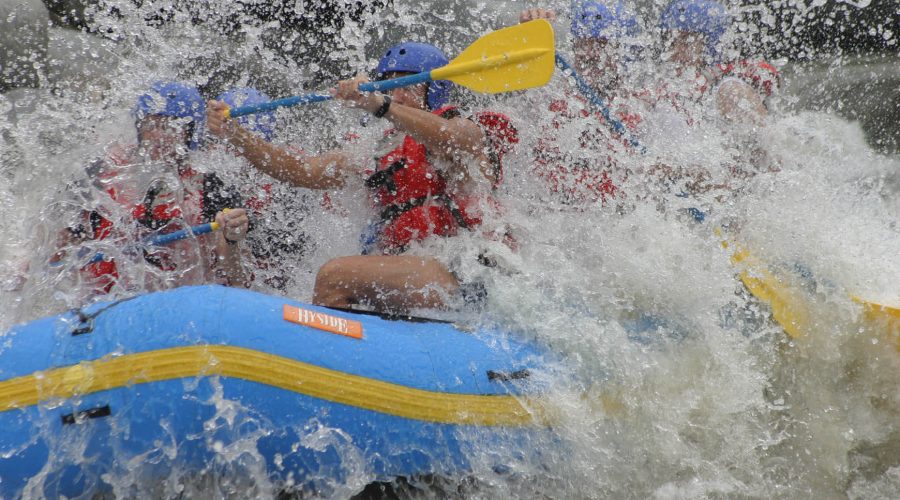
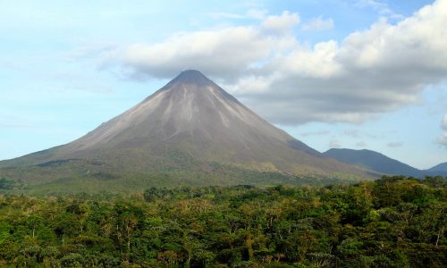
After an adrenaline-packed afternoon running rapids like Upper and Lower Huacas, Cimarron, Dos Montanas and many more you’ll finish a short drive from the Operations Center for a hearty and delicious lunch, showers, optional drinks and visit the souvenir store. On the return drive to San José, you’ll enjoy remarkable views of Braulio Carrillo National Park and Irazú Volcano. An unbeatable experience!
River Details
Degree of Difficulty: III (IV)
Gradient: 48 feet per mile (10.9 m/km)
Length: 14.3 miles (23 km)
Put-in Elevation: 886′ (270 m)
Take-out Elevation: 195′ (20 m )
Drainage Area: 254 square miles (650 km2) at take-out
Average Discharge: 2100 cfs (60 cms) Season: All year
Duration: 16 miles River time: From 3-1/2 to 5 hours – depending on the water level
What's included?
- Round-trip transportation
- Guide
- Breakfast
- Lunch
- Rafting tour
Departure and Return
Pick-up Time: 6:00 a.m.
Departure Point and Hotels:
If your hotel is not listed please go to any of the hotels in this list 15 minutes before the time of departure.
Return Details
Returns to original departure point
What to bring?
- Rubber-soled shoes that can get wet (Tevas, tennis shoes, booties or similar)
- Swimsuit
- T-shirt and shorts of a quick-drying material
- Waterproof sunscreen lotion (SPF 15 or higher)
- Sun hat or bandana
- Croakiest or straps to secure glasses
- Towel
- Complete change of clothing including shoes.
- Money for snacks, souvenirs, or tips
Requirements
- Minimum age: 12 years old
- Children must be accompanied by an adult
What's not included
- Tips
Cancellation Policy
For a full refund, cancel at least 24 hours in advance of the start date of the tour.
